Bartram Trail Backpacking Guide
The Bartram Trail runs for 116 miles (187 kilometers) through Georgia and North Carolina’s Appalachian Mountains. Backpacker Magazine readers rated it the best long-distance path in the United States for solitude.
When hiking here, II was perplexed by the absence of on-trail traffic. The Bartram Trail was truly chosen No. 1 for isolation, but just a few people trek it. Each an very one of them must have had a great experience.
Getting There
There are two options to get to the Bartram Trail.
You can go through the Russes Bridge, where you will find a tiny parking lot. The trailhead is located directly across from the parking lot.
The other option is the Cheoah Bald, that is found in the Appalachian Trail. The pathway’s northern terminus is 5.5 miles uphill from the closest road access.
Maps and Information
The route is named after William Bartram, a botanist, writer, and all-around outdoorsy type who lived in the 18th century. Bartram traveled extensively throughout the southeast of America in the period of 1773 to 1777. He did this recording his observations in detailed notes and sketches about the region’s flora, animals, and native inhabitants.
A Trail Divided into Two Parts
Georgia and North Carolina are sections of the Bartram Trail. Each state’s website, maps, guidebook, and even trail markings are all unique. Indeed, there does not appear to be a single trail map that covers the full pathway.
There are two guidebooks: one for Georgia and one for North Carolina. They are now available in the form of 8.511 spiral bound booklets, as of January 2017. Both come with detailed mileage markers, hiking comments, and maps. On this easy-to-follow footpath, it’s more than enough for navigation. Both guides are available for purchase at the following websites:
- North Carolina Bartram Trail Society or Georgia Bartram Trail Group
- The USGS 7.5 topographic maps for the Bartram Trail are free to download.
Bartram Path Society produces a 1:35,000 interpretative hiking map for the 78 mile NC segment of the trail.
Resupply
Franklin, North Carolina, is about 70 miles from the southern terminus and has resupply and lodging options. Snacks are also available near Nantahala Lake, NC, at the Phillips 66 Gas Station.
Routes
The BT is carefully demarcated from beginning to end. Yellow diamond blazes may be found in Georgia, whereas yellow rectangle blazes can be found in North Carolina.
The Georgia stretch of the BT is highlighted by several beautiful engraved stone markers in addition to the above-mentioned signage. They may very well be my favorite trail signage of all time. The aged appearance of the route, paired with the traditional Roman typeface, gives to the historical sensation of a trail that follows in the footsteps of a famous 18th-century Naturalist.
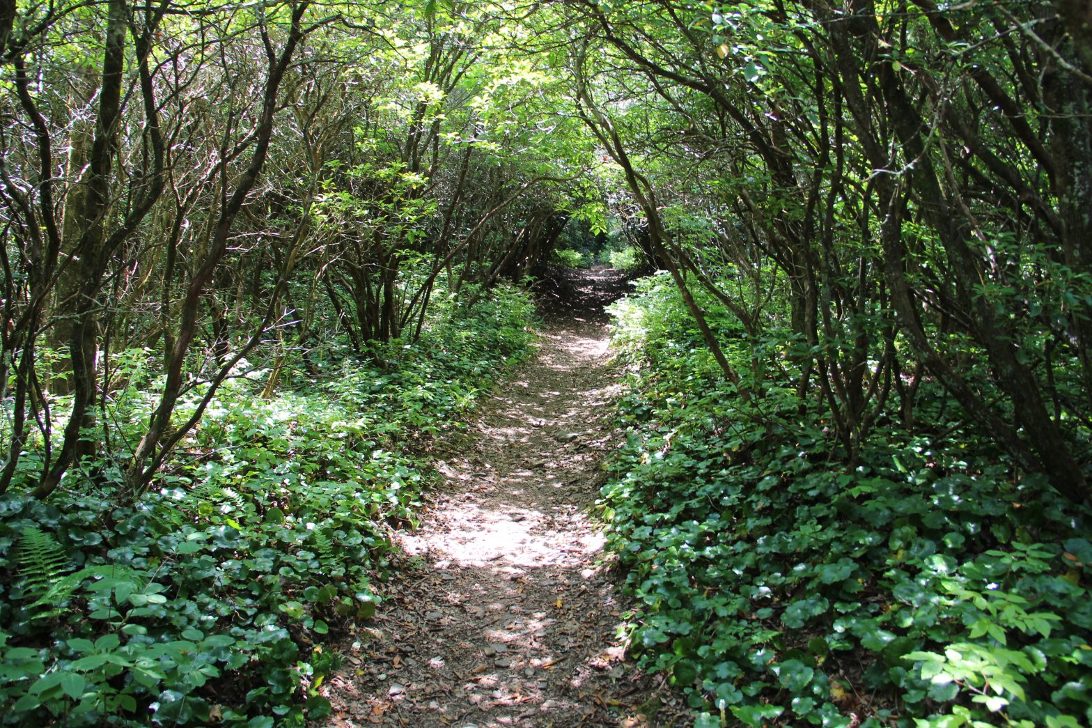
The Bartram Trail weaves its way across Georgia and North Carolina’s southern Appalachians. There’s a lot to admire about this trail: rhododendron forests, peaceful hollows, spectacular waterfalls, scenic lookouts, and plenty of seclusion.
Notes and Musings
Wayah Bald:
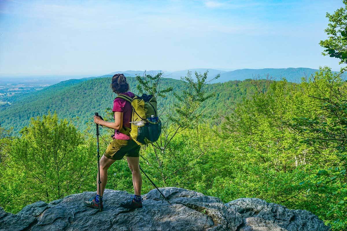
When hiking on Bartram Trail, you will enjoy ]360 degrees panoramic from Wayah Bald was one of the highlights of my Bartram Trail hike. Here, you can also enjoy some of the most basic dishes taste.


