Best Hiking Trails in Georgia – Top 14 Picks
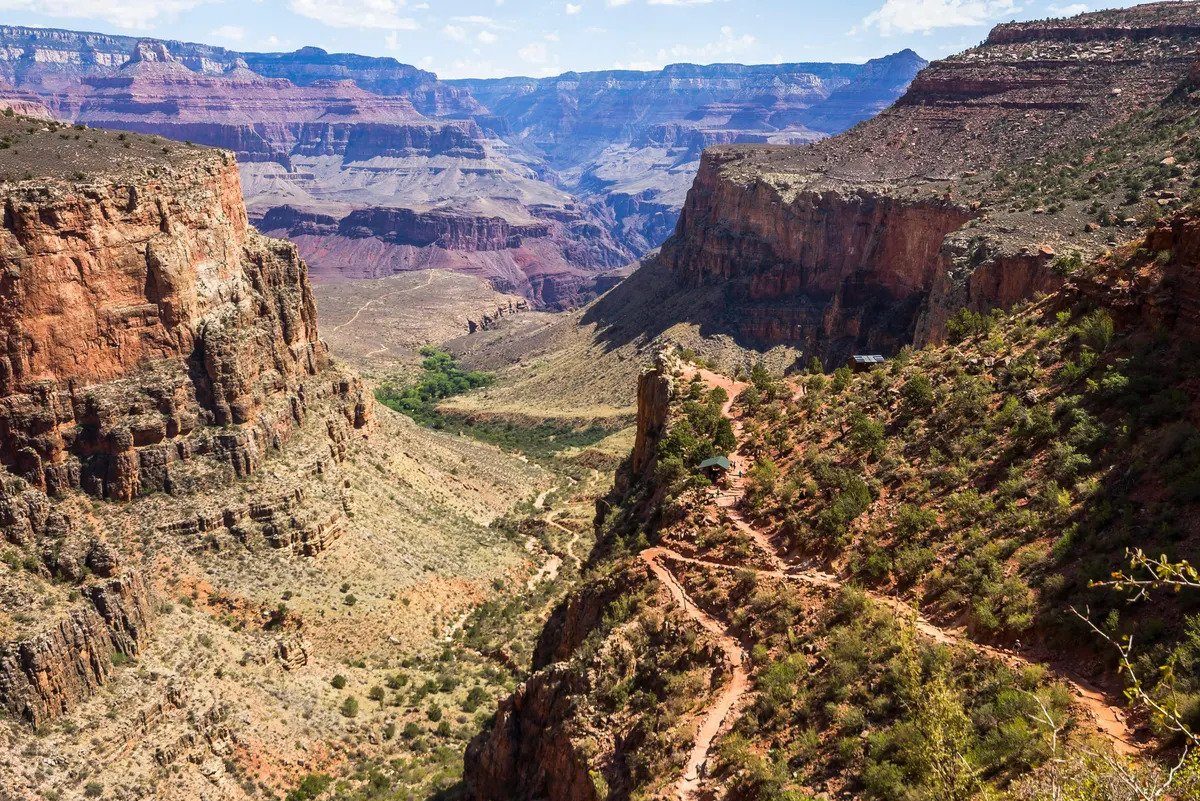
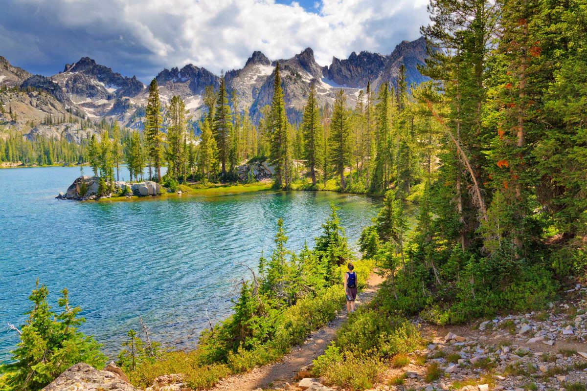
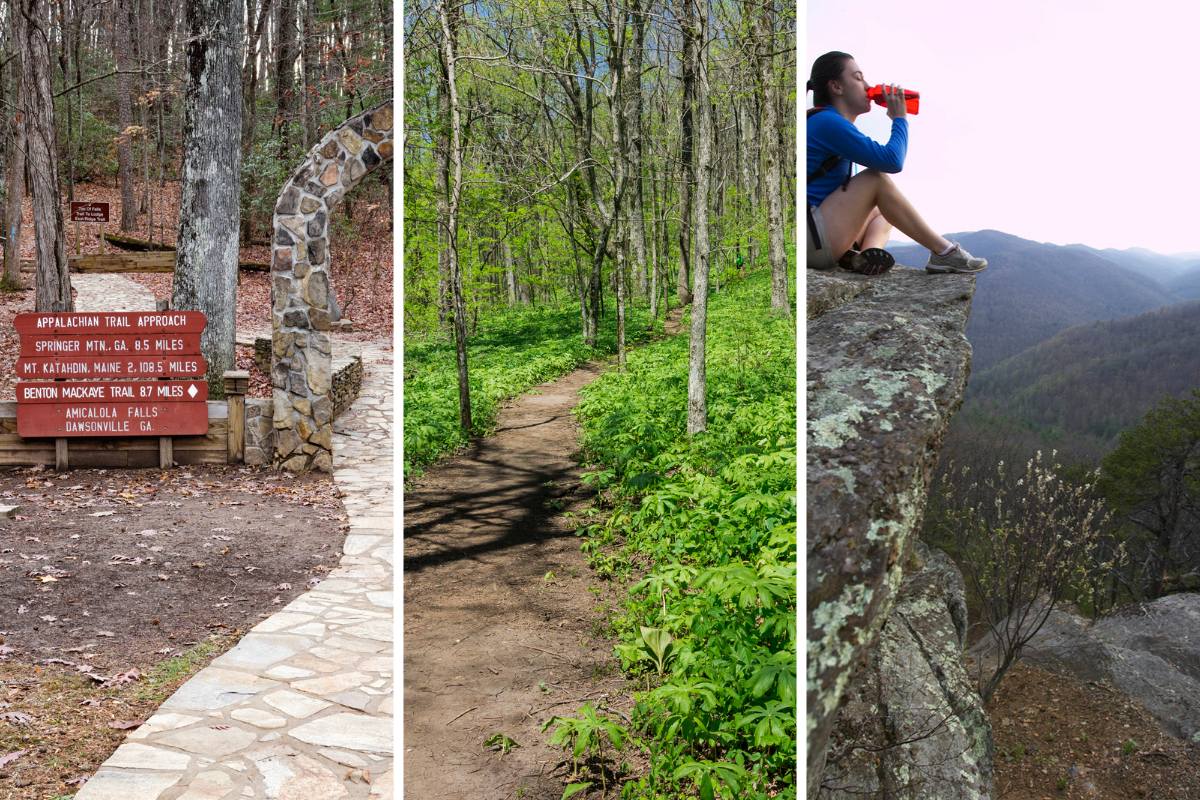
Georgia has the best acreage and views for mind-blowing hiking adventures for newbies and experienced hikers. You can find colorful beaches, enchanting waterfalls, and beautiful mountains to explore. Georgia’s topography bestows numerous natural attractions with a beautiful network of hiking trails, including the Canyon loop trail, Appalachian Approach, Preachers Rock, etc. Most hard-core hikers pack their portable generators or solar panels for camping and head to the north Georgia hiking trails.
The sunshine streams …